 |
| An overnight dusting of snow on Entrada Sandstone along Highway 211. |
In certain conditions overcast skies can be an advantage: soft light. One can use that to their advantage. Particularly in the case of a snowy landscape, which highlights details that one otherwise might miss.
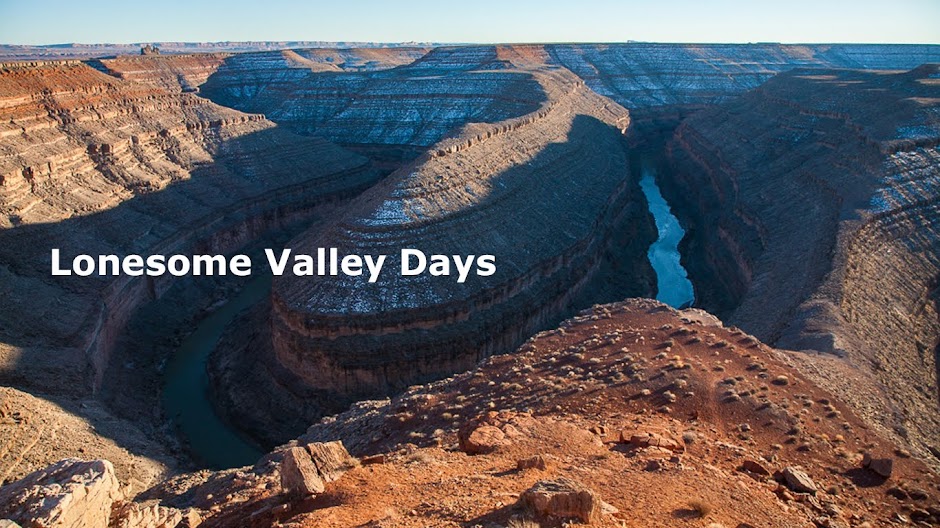
Driving north from Monticello on US 191, I turned west onto Utah-211, a scenic back road and the highway to the Needles District of Canyonlands National Park.
Not far from Hwy. 191 there are outcrops of Entrada Sandstone rising above the sagebrush flats. They are always nice to look at, but this morning with new snow, a light coating, I could see all the waves, folds, and joints in what was left of these sand dunes that had eons ago been turned into rock.
 |
| An column of sandstone along the cliff face. |
 |
| Highway 211 and eastern boundary of the BLM's Indian Creek Recreation Area. |
 |
| Fresh snow highlights the layers of the Kayenta Formation in Shay graben. |
A geology guide to this scenic drive says that this spot is called Shay graben. A graben is where there are two parallel faults in the Earth's crust--breaks--and the block in between has downdropped because of them. The red layer is the Kayenta Formation, which the upper flats sit on. The highway is now dropping down through the graben to get down to Indian Creek canyon.
At any rate, I stop a couple of times to photograph the Juniper and Pinyon Pine dotted horizontal layers of the red Kayenta cliffs, set off by the snow coating.
 |
| Kayenta Formation red cliffs in Shay graben. |
 |
| Newspaper Rock archaeological site, Indian Creek at Highway 211. |
Shortly after Newspaper Rock the elevation became too low for last night's snow to stick. So I turned around and headed back up to the flats.
Photo location: northern San Juan County, southeast Utah.
See more of my landscape and nature photography on my website at: www.naturalmoment.com.
© Copyright 2017 Stephen J. Krieg
No comments:
Post a Comment